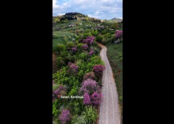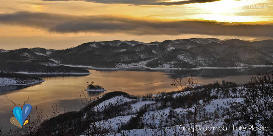


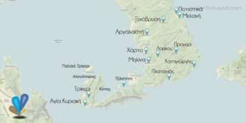


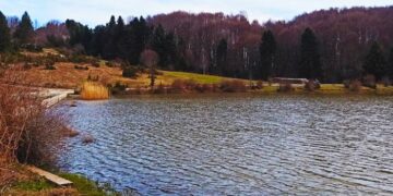
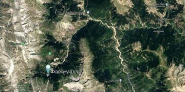


Lake Plastiras Dam – Zygoyanneika – Portes – Bolero (K1)
Length: 8057 m
Yps. Ascension: 1309 m.
Yps. Depth: 657 m
Max altitude: 2016 m
Minimum altitude: 904 m
Traxpoints: 778 – View the route on google maps
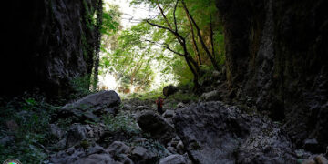
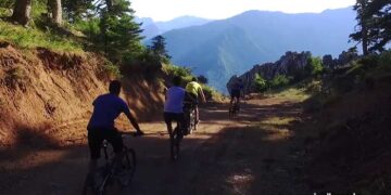
From the distant road of Lake Plastira and at a distance of 1000 meters after the junction to the village of Zygogianneika (Kedros) going from the dam to Belokomitis we meet on the path (900m) that starts from the Belokomitis village towards Bourlero peak. At this point the path crosses the road and the steep slope of the road goes up. The path is very well marked by EOS of Karditsa and bears the name K1. It first passes through a dense fir forest and before the village of Zygogianneika meets an old forest road that follows for about 250 meters. Then he leaves the road and climbs up to the village making some maneuvers in the forest. Crossing the village of Zyogyanneika (1150m), there is a parking lot where the path starts on the left. Here is a sign that indicates the destination of the path. The path continues in the dense forest and crosses the forest to Elatakos. A bit higher it passes through the village’s water hammer and traverses the slope to the east until it reaches the back. Following the ridge and parallel to the forest road reaches the location of Elatakos where there is the homonymous small shelter adjacent to the trigonometric point (1455m). The route to the shelter takes about 1:30. The shelter is always open and has beds for 8 people. There is no tap nearby.
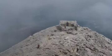
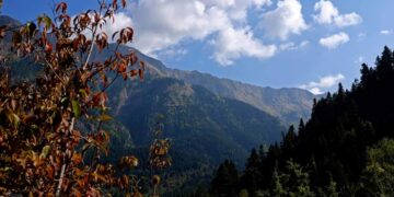
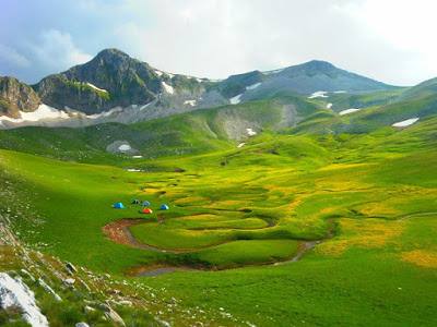
After the retreat, you walk along the road, which is why it is not visible and well preserved. However, somewhat higher the forest road is changing course and the path is again very distinct and it is directed through a dense forest to a large tap with water but which had no water (May 2013). After the tap, it turns 180 degrees and traverses the slopes of the peak Petalouda which passes it from the left (south) towards the “Agrafa Portes” (1700m) the impressive passage of the path through the two steep rocks. Arriving at the front doors we see the pyramid of the top, while the path goes down to the collision between the Pecelouda and Borlero (1610m) peaks. After the passage you walk on the eastern ridge of the mountain initially in a sparse forest and then into the alpine landscape where the forest road (abandoned) crosses the passage of St. George. Nicholas (1710m). From here on, the signs are sparse because the trail follows the ridge to the top of Borlero at an altitude of 2016 m and the direction is obvious. For this climbing you need a time of about 4:15, the path is one of the best marked and beautiful of Agrafa with a continuous view towards Lake Plastira. The K1 trail continues to the village of Elatos to the north of the mountain.
Route Record: Kroupis Nikolaos
Elatos – Borlero (K1)
Length: 3456 m
Yps. Ascension: 834 m
Yps. Depth: 24 m
Maximum Altitude: 2014 m
Minimum Altitude: 1201 m
Trackpoints: 336 – View the route on google maps
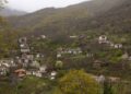
The route starts from the main road to Vrancena village under the village of Elatos. At the junction to the village of Elatos there is a newly built chapel of Agios Kosmas (1200m) from where the dirt road to the village of Elatos (1220m) is 150m long. The village is a summer resort and has only a few houses. Entering the village there is a large fountain where the path to Bourlero starts. This is the shortest ascent to the top. Behind the tap, the path passes past meadows and enters the sparse forest of fir trees. It is not a very obvious reason of vegetation but in the first firs you will find the signs of the path called K1. The direction of the path is south and with little maneuvering it reaches the main stream that flows from the northern slopes of the mountain. In the spring months a few meters above the point where the stream passes, you are forming a waterfall about 10 meters high. After the stream passes, the direction changes eastwards. The forest here is mainly of beech and the slope is increasing in the direction of the bay on Katsantonis ridge. The ridge is the northern back of Borlero and the smaller of the four mountains. From here on, the path follows the northern back to the top. A little higher he meets the zeta of the road that descends to the northeastern slopes of the mountain and reaches here from Ag. Nicholas in the passage to Vragiana. The ridge is green from the grass so there is no possibility of marking higher, however it is characteristic of the path to the top and easy to locate it. The climbing time is about 3 hours, while the K1 path after the peak continues to the Agrafa, Elatakos and Zygogianneika (Kedros) doors.
Route Record: Kroupis Nikolaos
Source www.hellaspath.gr