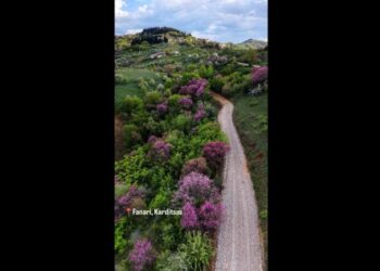


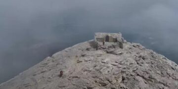
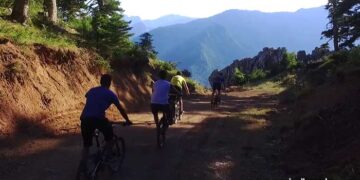


Kokkinopilos – Stalagmatia – Gournes – Mytikas (2.917 meters) – Kalogeros – Livadaki
Length: 41.252 meters
Max altitude: 2912 meters
Min altitude: -237 meters
Τrackpoints: 2977 – Route in google maps
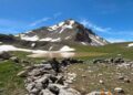
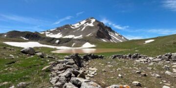
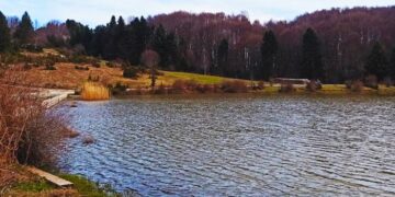
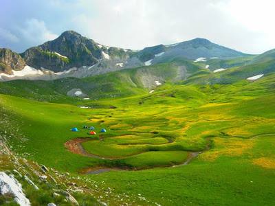
Vrisopoules – Αgios Antonios
Length: 3.643meters.
Max altitude: 2.833 meters
Minimun altitude: 1.843 meters
Τrackpoints: 182 – google maps route
Beautiful slopes for alpine skiing. The route starts from the camp of the commando and ends at the abandoned weather station at Agios Antonios.
Route: Panagiotis Kanellopoulos
Source www.hellaspath.gr