


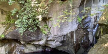
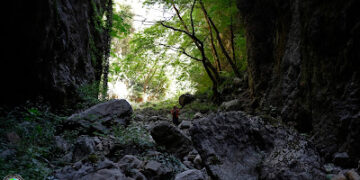
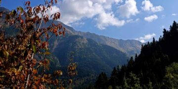
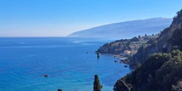
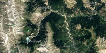


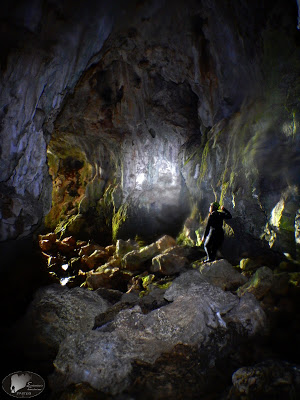
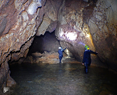
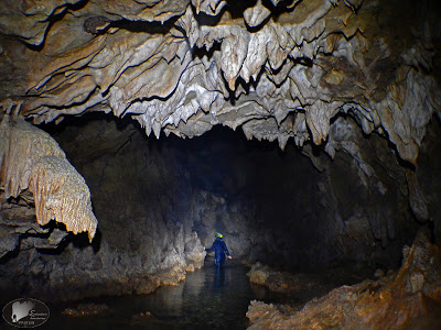
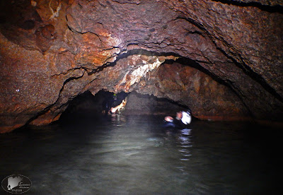
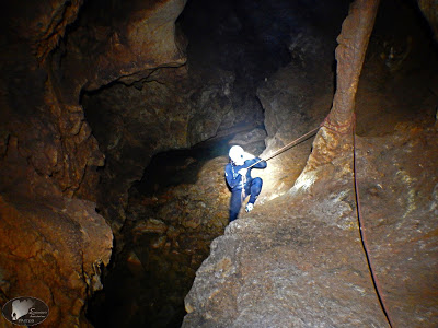
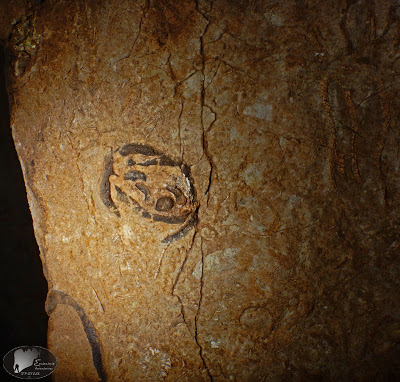
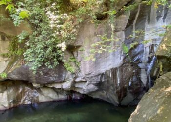
It is the largest underground river of Magnesia with a length of explored corridors of 1400 meters. It is located in the center of the mountain, west of the village of Ag. Ioannis at 1250 meters altitude. With entrance dimensions at 4 meters width and 10 meters height and with water coming out of its interior, is well known in the area. It is cut into limestone, conglomerate, while travertine is near the entrance. The route to the main road becomes comfortable, where the larger halls with a lot of judgments are observed. According to signs there are fossils on the walls (Hippurites). At places where the roof is lowing it needs swimming, while in some others we walk out of water. Beautiful decoration on the walls and on the floor. Several and the clay deposits that cover the limestone.
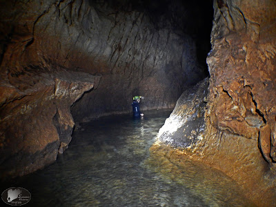
Nerospilia is situated on the water table and is fed with water from the mega-Lakkou area. In many places the cross section is wide, which indicates the period when the pipeline was filled with water. With the elevation of Othrys, the aquifer is lowered, the cross-section narrows and the cave passes into the creeping zone. The erosion of limestone occurs from top to bottom, with the current conduit being 4 to 6 meters lower than the original conduit. By signs we see a turbulent bead on the ceiling of the cave showing an aquifer under pressure.
Important work and additional information about the Waterpump can be found here.
The cave explored members of Protea on 29/04/2017.
The photos are from the main pipeline without the western and eastern branches.
Information and pictures by http://canyoning-caving.blogspot.gr

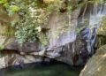
Entrance
ρεόλιθος κατα την εισοδο


